GeoINT
Mapping Hidden ThreatsIOSI GLOBAL’s GEOINT Project maps hidden military bases worldwide – and then shares this intelligence with professionals and the active public.
The project aims to increase awareness and understanding of the potential threats that secret military bases can pose to global security.
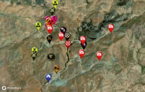
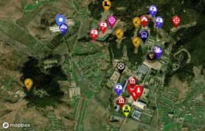
The project leverages geospatial data and analytical techniques to identify and map the locations of secret military bases worldwide. The data used is collected from a vast range of sources, including satellite imagery, publicly available data, and intelligence gathered by IOSI GLOBAL’s network of analysts and experts.
The resulting maps provide valuable insights into the nature and extent of these hidden threats, including information on a military bases' size, scope, and capabilities.
To ensure the accuracy and validity of the data, the project employs rigorous quality control measures, including data validation and verification, peer review, and data integration. The project prioritizes data security and confidentiality, ensuring that sensitive information is always protected.

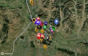
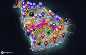
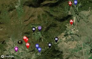
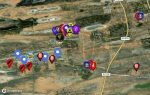
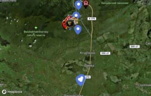
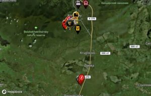
Latest locations
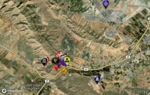
S-300VM Battery
Hwangju Airbase
Lesser Tunb Island
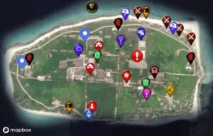
Pattle Island
SRB Missile Base
Privolzhskiy Radar Base
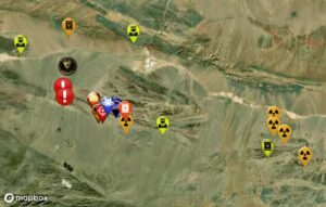
PLA Lop_Nur Nuclear Testi Site
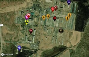
Khabarovsk-47 Nuclear Arsenal
Behjatabad-Abyek Uranium Enrichment Site | Code Named 311
Khabarovsk-47 Nuclear Arsenal
Anti-Aircraft Artillery Officer Academy